Levity v1: Or Emoji’s in their Natural Habitat

Doubt there’ll ever be a v2 of this one, but there’s a certain levity to finding little bits of personality on the trail when you are working hard.

wp-1468378900486.jpg

wp-1468378994900.jpg

Its like the trail itself is smiling on you, right before the next climb.  You pretty much gotta smile; even if you walk for a living, compared to most everyone else, you are still on vacation.

wp-1468379046362.jpg

I’m not sure what a DEhA is, but it made me cackle like a hatter when I found it. Maybe there’s something in ME’s aquifers. The humor might not translate well to text from my head.

20160712_213031.jpg

Whoever wrote this was at exactly the same point in their arc on the AT as I was when I passed it. In retrospect it had a lot worse to get, and whatever I was complaining about at the time would probably be a joke to me now.

wp-1468380938468.jpg

There were plenty of little bits of crank-poetry along the trail, many of which describe some of the trail personalities to a T. This one scratched my funny bone at the time and got saved, many others were lost to my camera.

Advertisement

Long Trails, and Road Walks

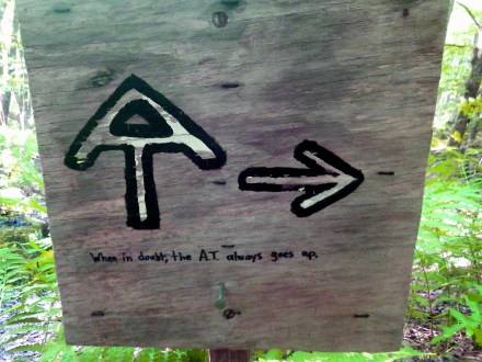
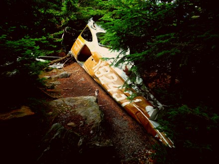
The first of the road-walks between the AT and the NCT was mostly uneventful, I set myself up to cross NH in a day (up at the skinny point) and it worked pretty well. I even got a sort of pseudo homestay just inside VT, a guy I met at a pizza place pointed me to his cabin and I hitched out to it from near the NH/VT border. Got a little lost and tried to hitch to somewhere I knew where was, and got even more lost. (I wasn’t carrying very good maps for this bit, and no tablet or GPS enabled device yet either) then got righted by some college age kids. (maybe younger?) Even with that misadventure though I put down the road mileage pretty fast.

20160712_221100.jpg

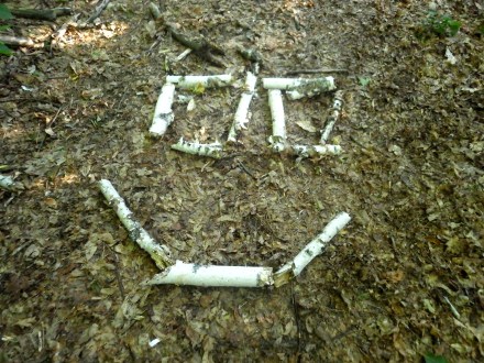
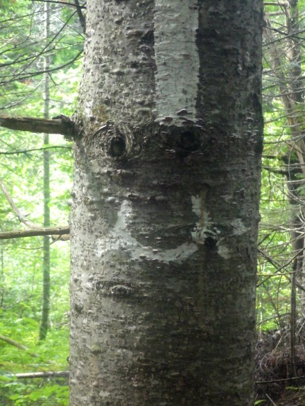
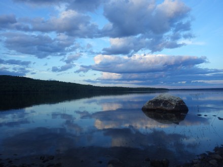
From the LT’s northern terminus, you can see this ten-foot wide swath cut into the woods as the only thing separating the Canada from the US, there are some pylons noting the Treaty of Washington, which without googling, I would guess is the document that formally specifies the border’s location geographically, maybe some other stuff too. Heading south, the LT is about as tough as anything the AT had to offer, save the notches. I was lucky in that I saw little rainfall, which drastically helped the mud situation, even so there were a few deep mud pits. (I was able to stick a trekking pole down to my wrist, and I didn’t try for much farther…) Overall however only one day dropped me below 20 miles per day, and that was because I happened upon a mountaintop wedding, and decided to stick around and watch,which then turned into cowboy camping on the deck of a ski chalet. In a bit of a moment where worlds collide, the wedding was for a friend of a friend of Dosu Kinuta, an AT thru-hiker I had brushed elbows with. (My parents gave him trail magic while they were slack packing me.) I got his contact info and was told he was gonna finish the LT NoBo starting in a week or so. We missed one another, (and pretty narrowly I think) as he was getting back on really close to when I was getting off.

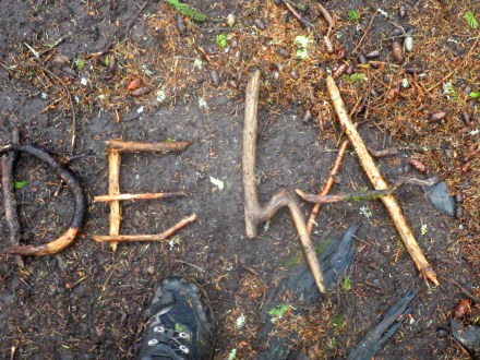
Overall the LT was really pleasant, a nice change of pace from the relative hustle and bustle of the AT, I had a lot of nice simple interactions with folks on trail. Even got a homestay from a couple, Root and Woven, who were almost done with their NoBo and happened to live on a homestead really close to my route, and at a really convenient midway point, enabling me to make it between the LT and NCT without any  stealth camping, which is a plus. Most nights on the LT had a few people around, there were some college outdoor clubs out in force, and my last night I got to spend some campfire time with a few people, including two musical vagabonds, and someone involved in the administration of the LT. Which lent an additional positive light to my memories of VT, and maybe elevated it to my favorite of the eastern states. On my little bit of road-walk between the LT and NCT I also ran into Transplant’s father, whom I had briefly met on Katahdin, I had to decline his offer of a ride, but he gave me some advice on where to find food in Middlebury. I also ate many Maple Creemees on the way, and was able to make Crown Point without too much trouble, though I did have to hurry a bit going forwards.

Wreckage v1

wp-1468018233045.jpg

Trail-side wreckage in the hundred mile wilderness, of the most common sort. An old flipped pickup, the must’ve been a road nearer here in the past. Did some minor detective work around this one; there were faded letters on the door, spelling out “Allen General Contractor” and “Hampton ME, 51AL210” I could be wrong on those numbers though. There were seven characters, so it could’ve maybe been a phone number?

wp-1468018280379.jpg

Another car, this one in the UP of MI, mostly notable for its nice coloration and lack of wheels. It was nearby Au Sable lighthouse in Pictured Rocks National Lakeshore (NLS)

wp-1468018220337.jpg

Here’s a more interesting one, on the Northville-Placid Trail. It’s a shorter trail, (clocking in around 130 miles) and I only spent about 30 on it before turning westward and mostly road-walking out of the ADK. Someone probably hid this canoe on the banks for later use, only for the river to flood and bash it around some trees. At least that’s what I hope happened, it’d be pretty rough if people were paddling about in it when it got busted up.

wp-1468018253396.jpg

This one’s really cool, in case you can’t immediately tell, but this is an airplane, crashed in the Mountains of VT, on Mt. Abraham. Happened in the 70s, all three passengers made it out alive. Its really blown to bits back there though the wings are a short distance away, and by now the forest has really grown up around, and inside of it.

Pacific Crest Trail

This is overdue in writing, but I will set the posting date to reflect the actual time.

Made it to the PCT! The Pasayten Wilderness has been one of my favorite sections of trail of the whole trip! I was able to meet my friend TK at castle pass on the 10th as I had given him as an estimate a month prior, (I’d count this as a measure of how good I am at predicting my progress if it hadn’t required a ton of effort for me to skirt in close to 11:59pm on the 10th) and we’ll be heading south, hoping to hit campo and the Mexican Border around mid November. Excited for another easy to follow trail!

The Way Back.

Returning to trail after finishing the AT was at once wonderful, and very melancholy. Taking my time and sparing no side trail I worked my way through the hundred mile wilderness much slower than before, taking eight nights to my previous run’s two. I was able to help out a couple south-bounders just starting out, gave one some food after he ran out near the end. In the course of a day I found about four thirds of a trekking pole, for a complete extra, (It was even a carbon fiber pole with flick-locks!) only to find someone who had snapped a trekking pole. I had matching parts so I fixed their pole on the condition that they carry out the broken pole sections I had packed up while scavenging out their replacement sections. The hundred mile wilderness is one of the best sections of the AT, (VT to ME is the best quarter of the AT in my opinion) and if you know where to look there are a couple AMC huts that gave me pretty easy work-for-stays even. The other side of the return trip, is that every time I meet up with one of my friends I had passed, it’ll probably be the last time we see one another. All the registers are filled with the parting thoughts from  friends since finished, many of whom I had missed entirely. I certainly had a longer good-bye to the AT than was I was immediately ready for. (Although, looking back on it I remember it very fondly, but at the time it was bittersweet.)

Managed to serendipitously run into Desolation Row, and Baby Blue. The second father child pair, (two twelve-year-old kids did the AT in one year. So no excuses if you really wanna do it.) this time the twelve year old in tow was his daughter, we swam in one of the hundred miles’ many lakes and caught up for a while. Also met Little Bird, whom I had briefly met on my way North. She had attempted a thru 2 years prior, and broken her wrist, she came out the following summer to finish and caught Lyme’s disease. This year she was finally going to make it. She lives on the North Country Trail (NCT) so she’ll come up later on.

wp-1468367121051.jpg

SoBo out of the hundred I stayed at Shaw’s, and for quite a while, there was a bit of ration difficulty. I had a resupply box sent there for me to pick up on the way north, but since my parents met me earlier I had no need for it, and resolved to use it on the return trip. The resupply never showed up, it should’ve been there even a week or two before. I waited a couple days, (The town vortex at Shaw’s was strong, and I got along pretty well with Poet and Hippie Chick) then caught a ride out to a decent grocery store for a real resupply. Getting a hitch back took a while, but it was worth it, I ended up getting picked up by a 2002 thru-hiker, Machine, after hiking he’d become an organic farmer, and hooked me up with a whole bunch of fresh veggies! Lots of beans, peppers, and celery. I read Orange is the New Black, (found in the hundred miles) watched the Perseids and in general just relaxed a lot, dropping to about 20 miles per day before finally making Stratton, ME where I would drop from the AT and cut west for the north end of the LT. Changing my life style into Road walk, stealth camping, and getting eyed by the border patrol agents zooming around.